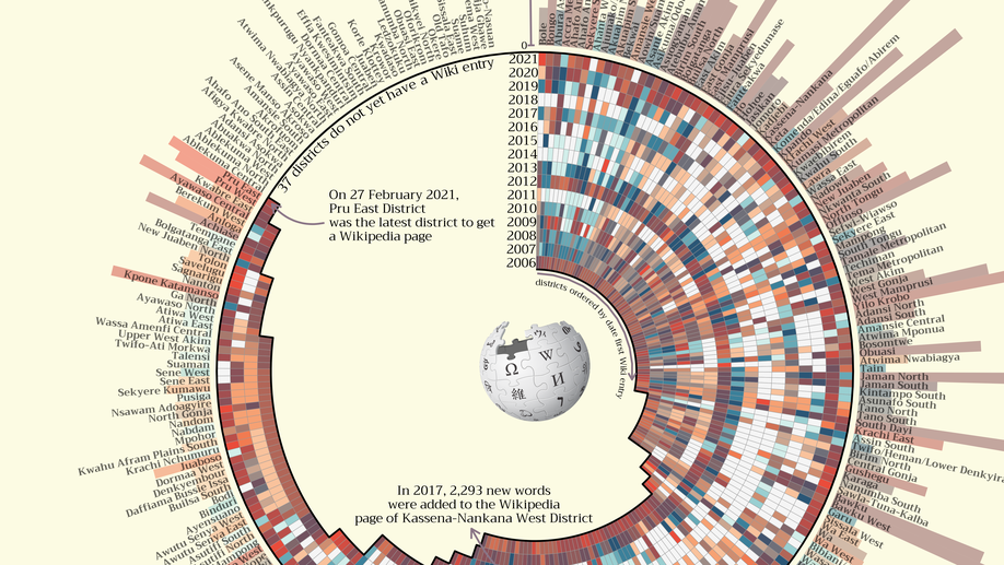
Using R to Web Scrape Wikipedia and Visualize the Results.
In this walkthrough I show how to use R to scrape and analyse data from Wikipedia and then vizualise the results in a somewhat over-eloborate circular heatmap
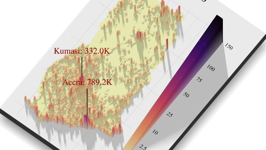
Using R to Animate the Population Density of Ghana
In this walkthrough I show how to use R to dowload population density data for a country and then how transform that data into interactive leaflet maps and a animation
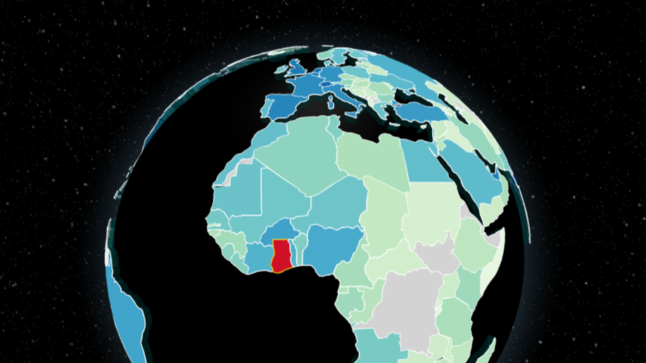
Using D3.js and Globe.gl to Create a 3-dimensional Choropleth of Trading Partners of Ghana Using Comtrade Data
In this walkthrough I show how to use Comtradr API to download trade data and then visualize, in an overly complex way, this data using D3.js and Globe.gl. Have fun playing with it
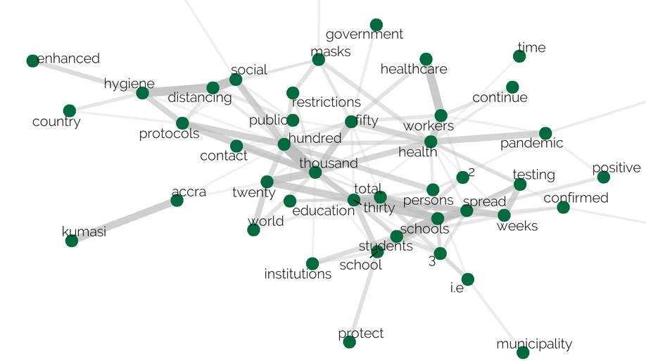
Using Tidytext and SpacyR in R to do Sentiment Analysis on the COVID-19 Update Speeches by the President of Ghana.
In this walkthrough I show how to use Rvest to scrape the speeches from the Ghanaian president on the topic of COVID-19 and how to use tidytext and SpacyR in R to do a sentiment analysis on these speeches to analyse them.
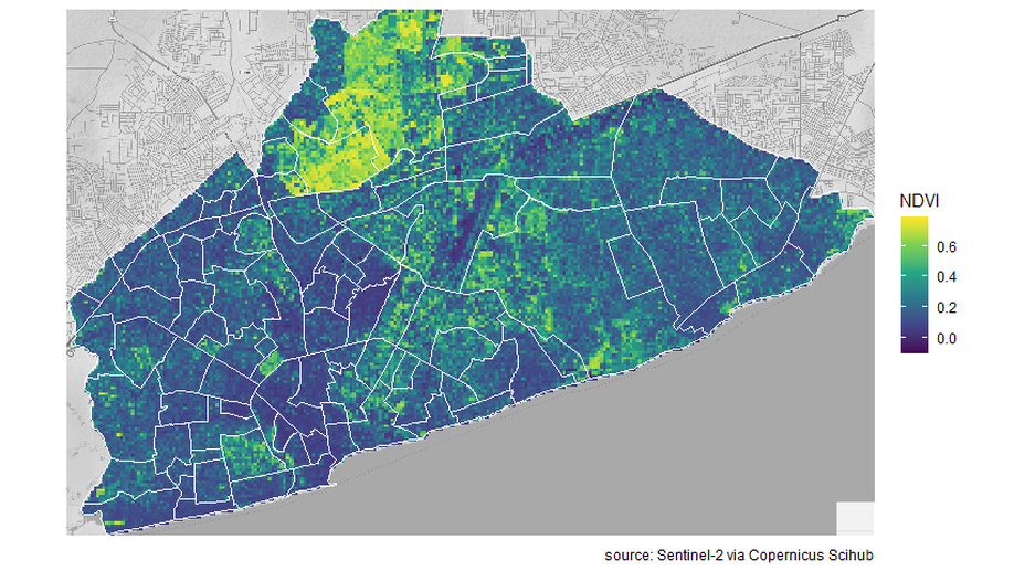
Finding the Greenest Neigbourhood in Accra Using Open-source Satellite Sentinel-2 NDVI Data
This walkthrough shows you how to download multispectral satellite (sentinel-2) in R, calculate the NDVI, create spatial statistics for different neighbourhoods using shapefiles, and plot the results. Spoiler: the University of Ghana Campus is the greenest neigbourhood in Accra.
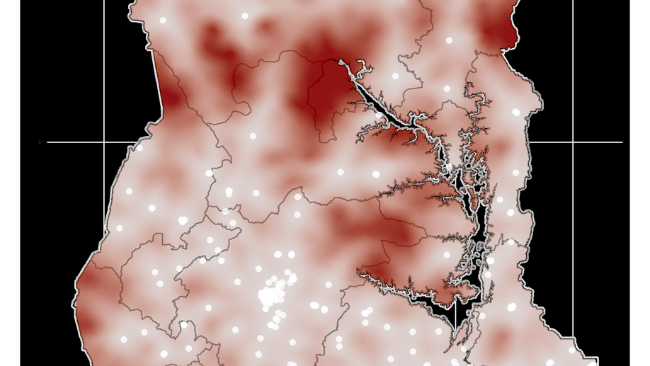
Plotting the Average Driving Time to the Nearest Hospital in Ghana
This walkthrough shows how to plot a heatmap of driving times in a Ghana (or any other country) to a nearest hospital. This involves getting data from OSM, planning driving routes and times in OSRM, plotting in leaflet, using the sp, sf, raster, jstat, osmdata, and osrm packages.
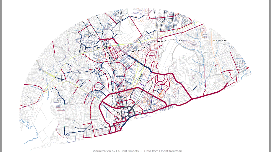
Plotting Street Name Suffixes in R
In this tutorial I will show how I created this map depicting the different suffixes of all the streets in Accra, Ghana. This requires loading data from OpenStreetMap (www.openstreetmap.org), cleaning these data, and some advance plotting in ggplot2.
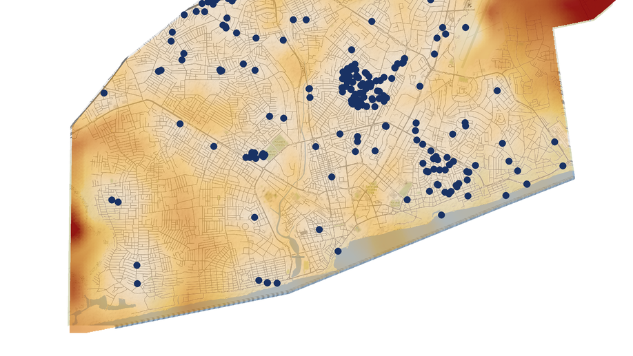
Plotting the Average Walking Distance to the Nearest Bar in Accra
This walkthrough shows how to plot a heatmap of walking times in a city to a nearest bar. This involves getting data from OSM, planning walking routes and times in OSRM, plotting in leaflet, using the sp, sf, raster, jstat, osmdata, and osrm packages.